Puntarenas
The long Pacific province, from the Gulf of Nicoya to Panama.
About
What is Puntarenas?
Puntarenas is the largest of Costa Rica's seven provinces. It runs along the Pacific coast from the Gulf of Nicoya to the border with Panama, and it includes Cocos Island, some 530 km out in the Pacific.
Its capital, the city of Puntarenas, stands on a long spit of land in the Gulf of Nicoya. In the nineteenth century it was the port through which most of Costa Rica's coffee left for Europe, carried down from the Central Valley by oxcart.
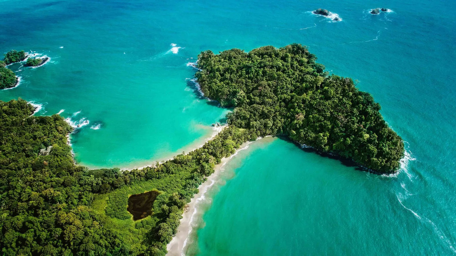
The province holds some of the country's best-known protected areas. The Monteverde Cloud Forest Biological Reserve, created in 1972, lies high in the Tilaran mountains; Manuel Antonio National Park sits on the coast near Quepos; Marino Ballena National Park protects the sea and shore of Bahia Ballena; and Corcovado National Park lies on the Osa Peninsula.
Two UNESCO World Heritage Sites are here: Cocos Island National Park, inscribed in 1997, and the pre-Columbian chiefdom settlements with stone spheres of the Diquis, near Palmar Sur, inscribed in 2014. The province also shares the La Amistad reserves of the Talamanca range, a UNESCO site since 1983, with San Jose, Cartago, Limon and Panama.
The southern tip of the Nicoya Peninsula belongs to Puntarenas as well, with the beaches of Montezuma and Santa Teresa.
Location
Where is it?
Puntarenas stretches along the Pacific side of Costa Rica. Its neighbours are Guanacaste, Alajuela, San Jose and Limon, and in the south it borders Panama.
From the city of Puntarenas, Juan Santamaria International Airport (SJO) is about 83 km away, around an hour and three quarters by road, and Daniel Oduber Quiros International Airport (LIR) about 146 km, roughly two and a half to three hours. The province is long, so the Osa Peninsula and the Panama border are much farther from both airports.